Quick answer (TL;DR)
Waterfront property near Dahlonega concentrates along three corridors: the Chestatee River main stem closest to town, its tributary creeks in the quieter hollows, and the Etowah-Lake Lanier fringe to the south. What you can buy, and what the water legally comes with, differs corridor by corridor. Pick the water first, then verify frontage, access, and flood zone before anything else.
Waterfront property near Dahlonega, Georgia sits along the Chestatee River, its tributary creeks, and the Etowah-Lake Lanier fringe. Compare frontage, deeded access, and flood zones corridor by corridor.
Ask for waterfront near Dahlonega and you will be shown three different kinds of property within a half hour of town: river frontage on the Chestatee itself, creek parcels folded into the hollows, and lake-flavored homes on the Etowah-Lanier fringe. All of it gets called waterfront. Only some of it is what you mean. The corridors also carry different diligence: what floods, what owns the bank, and what the access paperwork actually says. Here is where the water sits around Dahlonega, corridor by corridor, and what each one gives the buyer who wants it.
Start with the water, not the listing
Every buyer says waterfront; almost nobody means the same thing by it. Some mean a house whose yard touches the river. Some mean a legal right to walk down to it across a shared parcel. Some mean a view. Near Dahlonega all three get marketed as waterfront, and the price differences between them are real. Before you tour anything, decide which of those three you are actually shopping for, because it changes which corridors you look in and what you verify before an offer.
The waterfront homes buyer’s guide covers the full diligence list. This guide is the step before it: where, physically, the waterfront inventory around Dahlonega actually sits.
Corridor one: the Chestatee main stem
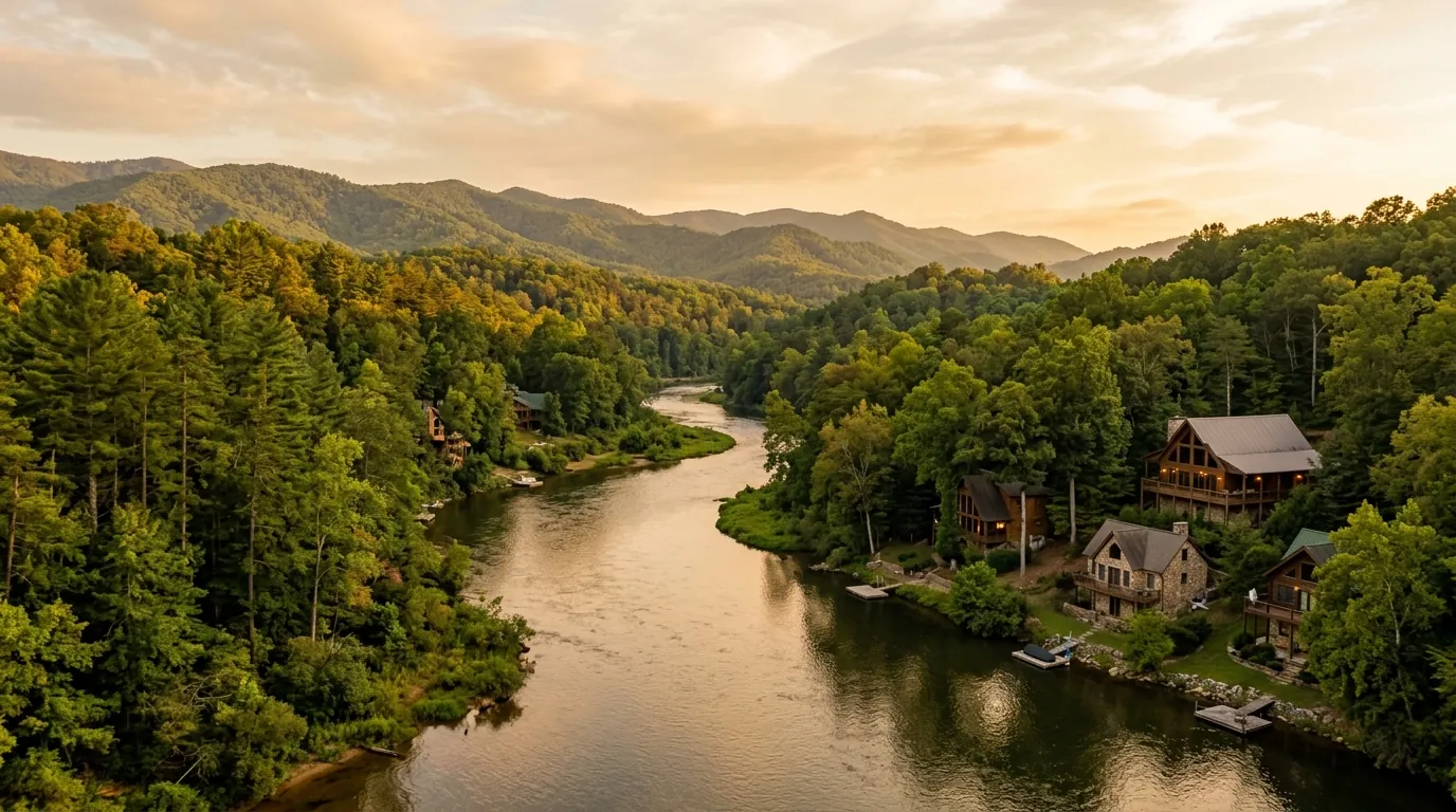
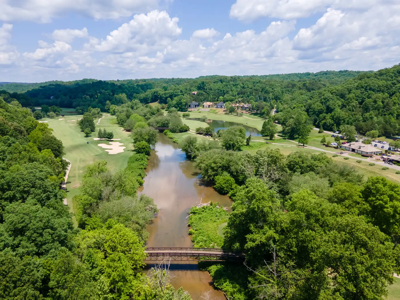
The Chestatee River itself is the headline water near Dahlonega, running south out of the mountains through Lumpkin County. Parcels along the main stem range from small cabins on narrow frontage to larger acreage tracts, and this is the corridor where true river-frontage homes come up most often. It is also the corridor where flood-zone questions matter most, because the main stem carries the watershed’s water.
Expect variety in what listings mean by frontage: some properties touch the river along a usable bank, others along a steep drop where the water is visible but not approachable. Walk the bank before you form an opinion from photographs.
Corridor two: the tributary creeks
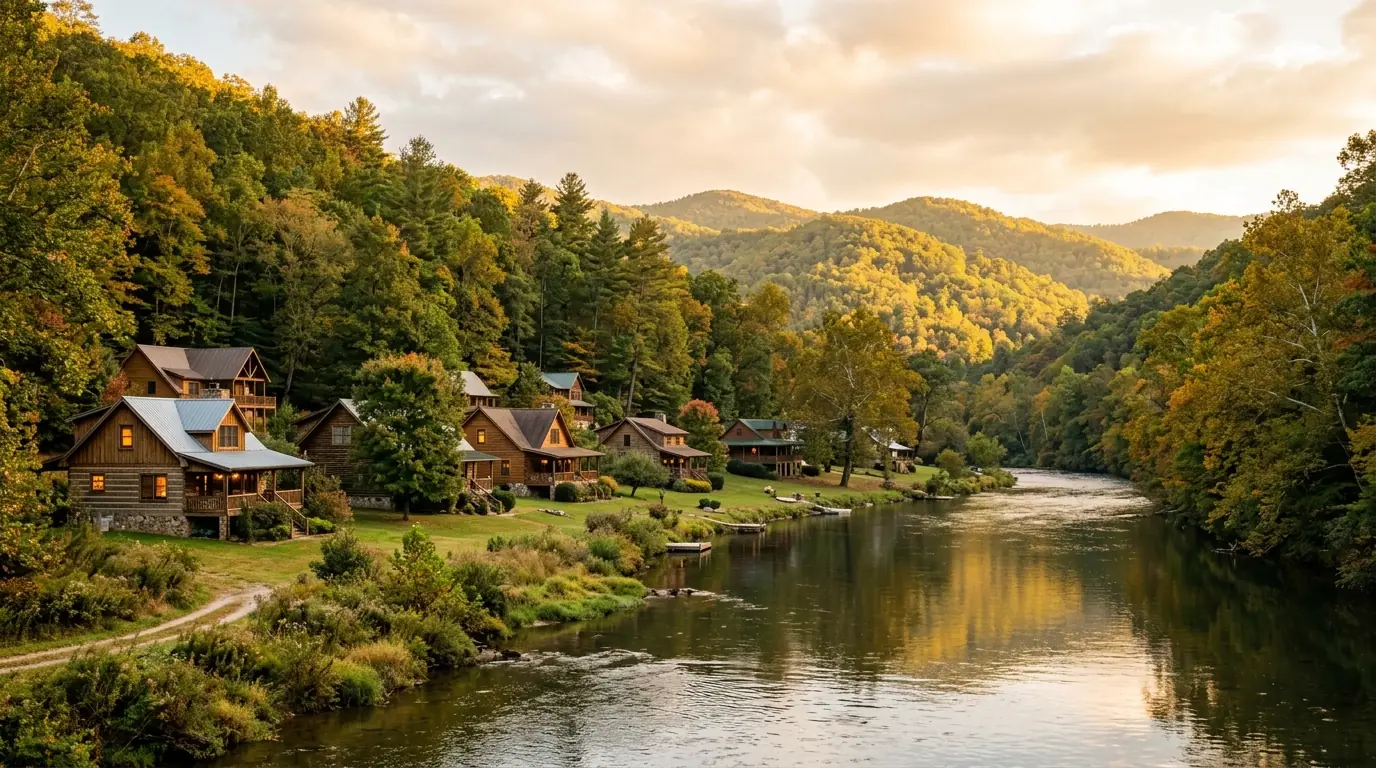
The hollows around Dahlonega carry the Chestatee’s tributaries, creeks like Toto Creek, and the riverside communities guide maps how these settle into recognizable pockets. Creek frontage trades some of the big-river drama for quiet, smaller water, and often more land per dollar. The trade is water behavior: creeks flash after rain and can run thin in dry late summer, which matters if you are picturing a specific kind of evening.
Creek parcels also reward a slow survey read. The good ones feel deeply private; the careless purchases discover that the usable part of the lot stops well short of the water.
Corridor three: the Etowah and Lake Lanier fringe
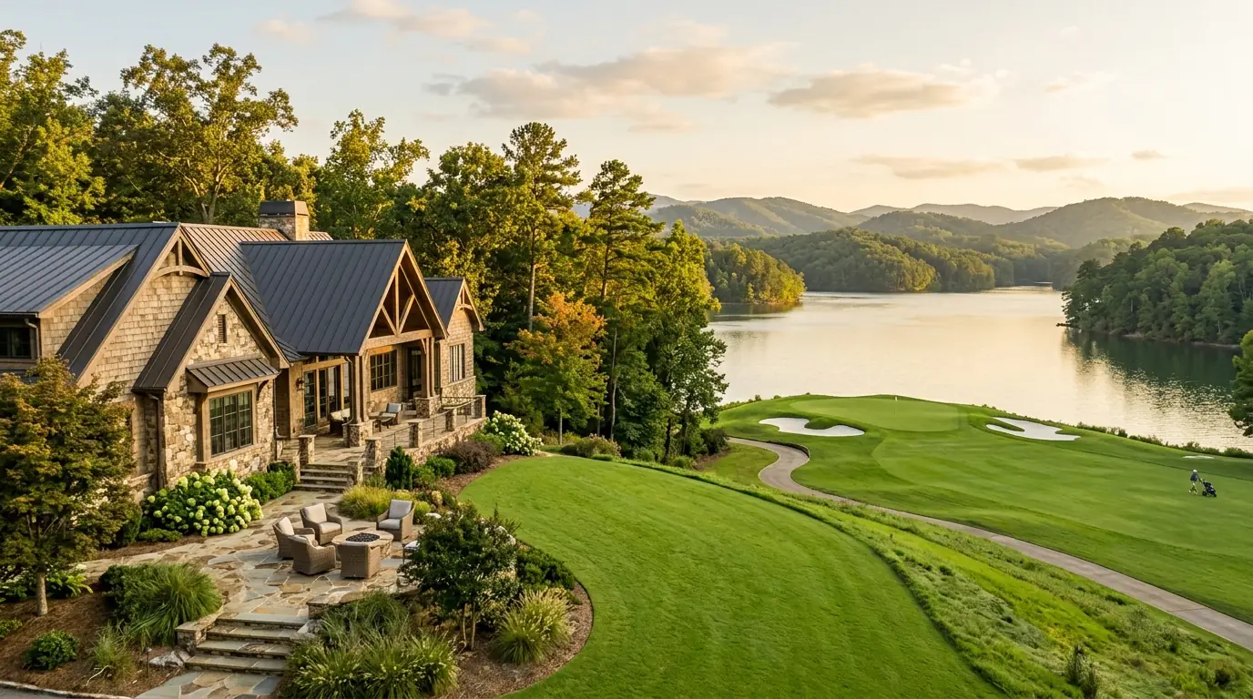
South and west of the Chestatee corridor, the country tilts toward the Etowah system and the upper reaches of Lake Lanier. This is a different market: lake-flavored rather than river-flavored, with the water often at a distance measured in minutes rather than feet, and with property types that include lake-view homes rather than true frontage. Buyers who want water-adjacent living without riverbank maintenance often land here.
If a listing in this fringe promises lake access, read exactly what that access is. Access is a spectrum from a deeded spot at the end of a road to a neighborhood ramp to nothing enforceable at all, and the paperwork, not the aerial photo, tells you which.
What waterfront legally comes with in Georgia
Georgia riparian rights give the owner of land touching a navigable-water boundary specific but limited rights regarding the water, and the details sit at the level of the parcel, not the brochure. Two properties on the same river can have meaningfully different relationships with the water in front of them. The practical rules: assume nothing about docks, banks, or exclusion, and get the water-rights question answered in writing during diligence, not at closing.
Flood zone is the other parcel-level fact. Around Dahlonega the FEMA maps for Lumpkin County carry real designations, and properties on the same stretch can sit in different zones. The flood zone guide for Lumpkin County waterfront explains what Zone AE versus Zone X means for a buyer, including the insurance conversation you will want to have early.
The inspection list waterfront adds
Waterfront near Dahlonega is often well and septic country, and both behave differently near moving water. The standard buyer diligence list grows: well yield and quality, septic location and condition relative to the bank and the flood line, driveway and bridge access in high water, and the erosion history of the bank itself. None of these are reasons not to buy; all of them are reasons to inspect before you are emotionally committed.
Timing the inspections matters as much as running them. If you can walk the property after a heavy rain, even informally before an offer, you learn more about drainage, the bank, and the driveway in twenty minutes than any document will tell you. Sellers generally understand this; serious waterfront buyers look at the water in its bad moods, not just its good ones.
Bring your standard agent questions too: what the seller knows about the water history, which storms the property has seen through, and whether anything about the bank, the outbuildings, or the septic has changed hands or repairs recently.
How the corridors compare
Chestatee main stem for classic river frontage closest to town. Tributary creeks for privacy and land, with smaller water. Etowah-Lanier fringe for lake-flavored living and view homes. Prices in all three move with frontage quality, acreage, and flood zone, and inventory in every corridor is thin enough that the right property is more often found by watching than by shopping a single weekend. The waterfront real estate guide goes deeper on what buyers should verify before an offer.
Frequently Asked Questions
Where can you buy waterfront property near Dahlonega, GA?
Waterfront inventory concentrates along the Chestatee River main stem, its tributary creeks such as Toto Creek in the surrounding hollows, and the Etowah-Lake Lanier fringe south of the corridor. Each corridor trades frontage, privacy, and water character differently.
What does waterfront actually mean in a Georgia listing?
It can mean the parcel touches the water, that it carries deeded access across another parcel, or simply that the water is visible. Ask which of the three applies to any listing, and verify the answer against the deed rather than the marketing.
Do you own the riverbank on Chestatee River frontage?
Ownership at the water boundary is governed by Georgia riparian law and varies parcel by parcel, especially on navigable stretches. Get the specific boundary and rights question answered in writing during diligence.
Is waterfront property near Dahlonega in a flood zone?
Some is. FEMA maps for Lumpkin County assign zones like AE and X, and neighboring parcels can differ. Check the parcel’s designation before offering, since it drives insurance and lender requirements.
Can you build a dock on Chestatee River waterfront?
Dock and structure rights depend on the parcel’s riparian situation and the applicable rules for that stretch of water. Do not assume a dock is permitted; verify what the parcel allows before you count on one.
What inspections does waterfront property need?
Beyond the standard list: well yield and quality, septic condition and location relative to the bank and flood line, bank erosion history, and driveway or bridge access during high water.
Is creek frontage cheaper than river frontage near Dahlonega?
Tributary-creek parcels often offer more land for the money than main-stem Chestatee frontage, with smaller and quieter water. Which is better depends on whether you want the river’s presence or the creek’s privacy.
What is deeded river access?
Deeded access is a legal right, recorded with the deed, to reach the water across a defined path or parcel. It is stronger than a verbal arrangement or a customary path, and its exact terms are worth reading before you rely on it.
How thin is waterfront inventory near Dahlonega?
Thin in every corridor. River frontage especially comes up in small numbers, so serious buyers watch the market over weeks rather than expecting to tour a deep list in one weekend.
Should you use a buyer’s agent for waterfront purchases?
Yes, and ideally one who knows the specific corridors. Waterfront diligence, flood zones, wells, septic, and riparian questions are local knowledge, and the seller’s representation does not work for you.
Does waterfront property require flood insurance?
It depends on the parcel’s FEMA zone and your lender. Zones like AE typically trigger the insurance conversation, while Zone X often does not. Confirm the parcel’s zone and your lender’s requirement early.
When you know which water you want, the next step is a corridor-specific search. See current Dahlonega listings at Gold Peach Realty or call (770) 283-1223.