Quick answer (TL;DR)
Homes near the Chestatee River in Dahlonega, Georgia range from interior lots with HOA-managed river access to full-frontage waterfront parcels. Prices vary widely depending on deeded frontage, acreage, and condition. Verify current inventory with a live MLS search. Most properties sit in Lumpkin County; some extend into Hall or Dawson County. Gold Peach Realty connects buyers with available listings along the river corridor.
Homes for sale near the Chestatee River sit primarily in Lumpkin County outside Dahlonega, Georgia. Inventory ranges from HOA river-access lots to full-deeded waterfront parcels. Buyers should confirm flood zone status and verify well and septic requirements before submitting an offer.
What Kinds of Homes Can You Find Near the Chestatee River?
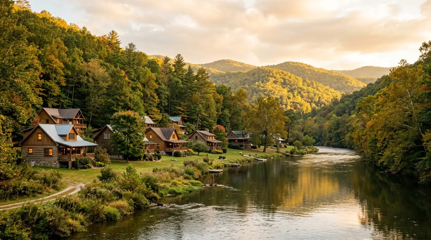
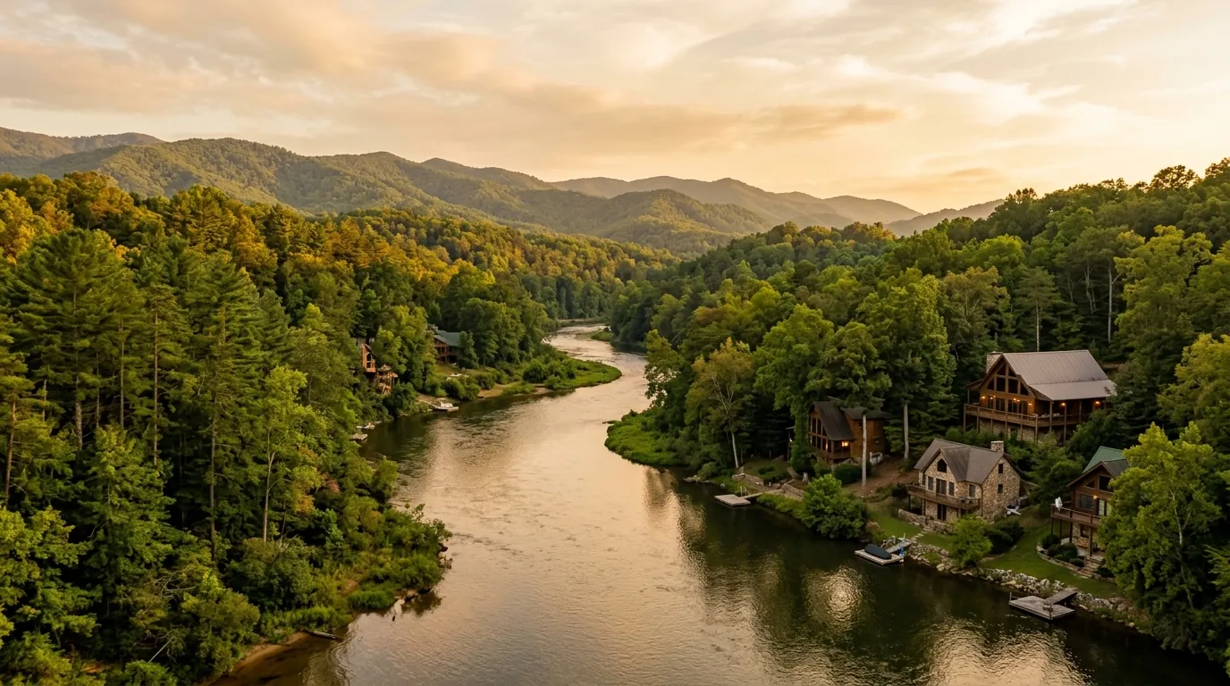
The Chestatee River winds through the North Georgia mountains before feeding into Lake Lanier, part of the Chattahoochee River watershed. The corridor closest to Dahlonega, within Lumpkin County, holds the greatest concentration of residential properties that carry river-proximity value.
Full-Frontage Waterfront Homes
These properties sit directly on the riverbank with deeded access to the water. They are the rarest and most sought-after type along the Chestatee. Expect a meaningful price premium over comparable inland homes; confirm current asking prices with an active MLS search before budgeting.
Community River-Access Properties
Several subdivisions near Dahlonega give residents shared access to the Chestatee through a community dock, trail, or put-in. This offers buyers a lower-cost path to river proximity without requiring direct frontage. Read the HOA documents carefully: access hours, permitted watercraft, and seasonal restrictions vary by community.
Near-River Lots and Rural Parcels
Properties a short drive from the river often sit on larger acreage with mountain and wooded views but no direct water frontage. They attract buyers who want space and privacy, plus easy river access for fishing or recreation, at prices below full-frontage listings. For a detailed breakdown of what separates each category, see the guide to Chestatee River waterfront homes.
When the search is less about a home and more about a site, some buyers cross over into commercial property for sale in the Dahlonega area, where parcels are valued on entirely different terms.
Where to Look: Key Areas Near the Chestatee River
The Chestatee River corridor does not follow a single neighborhood boundary. Properties are distributed across several distinct areas that buyers should understand before searching.
North of Dahlonega (Upper Chestatee)
This section runs through less-developed terrain above the town. Properties here tend to be larger acreage parcels, often several acres or more, with private well and septic. The landscape is quieter and more rural. Buyers who want space and seclusion over HOA amenities tend to land here.
South Toward Lake Lanier (Lower Chestatee / Hall County)
As the river moves toward Gainesville, properties shift toward lake-adjacent character rather than pure river frontage. Dock permitting in this section goes through federal review. Buyers planning any water structure should factor that in.
Achasta on the Chestatee
Achasta is a gated golf community in Dahlonega where the Chestatee River runs alongside the Jack Nicklaus Signature 18-hole course. Homes in Achasta carry river and fairway views. The community is designed for primary residence and long-term ownership.
For a full picture of where the river corridor market stands today, the Chestatee real estate overview covers pricing context, inventory trends, and the communities that make up this market area.
What Buyers Need to Know Before Making an Offer
Flood Zone Status
Properties near the Chestatee may fall within FEMA-designated Special Flood Hazard Areas, particularly along lower bank sections. Flood zone status directly affects insurance costs and, in some cases, lender requirements. Buyers should pull the FEMA Flood Insurance Rate Map for any parcel before going under contract. The FEMA flood map service center allows parcel-level lookups at no cost.
Well and Septic Systems
Most properties outside Dahlonega city limits rely on private wells and septic systems rather than municipal utilities. A water quality test and a licensed septic inspection are standard due-diligence items. Lenders financing rural properties typically require both before closing.
River Access Rights and Easements
In Georgia, riverbed ownership depends on the stretch’s navigability classification. Owning riverbank property does not automatically convey the right to construct a dock or place a structure in the water. Buyers of true frontage properties should review the deed and any applicable easements, and consult a Georgia real estate attorney if dock or boat-launch improvements are planned.
If you are working through the full buyer checklist for river-area property, the buyer’s guide to purchasing near the Chestatee River walks through each step in detail.
Understanding Pricing Along the Chestatee Corridor
Pricing for homes near the Chestatee River spans a wide range. Interior lots in a subdivision with community river access are priced differently than a full-frontage parcel, and both sit in a different bracket from rural acreage two miles back from the water.
River-access and waterfront properties in Lumpkin County have historically commanded a real premium over comparable inland homes, with full-frontage properties at the upper end of the market. Use a live MLS pull for any number you plan to act on. Specific figures move with inventory and season.
Days on market for rural and river-adjacent properties in Lumpkin County have varied depending on price point and condition. Well-priced mid-range river-access homes tend to move faster than high-end frontage properties, which can sit longer. Verify current pace with an agent pulling live data.
For properties with a direct Dahlonega address and full river frontage, the page covering Chestatee River waterfront homes in Dahlonega provides a closer look at that specific segment.
How a Local Agent Approaches This Market
Buying near the Chestatee River is not the same as buying in a standard subdivision. Inventory is thinner, the due-diligence list is longer, and MLS search parameters matter. A search for “Chestatee River waterfront” can miss properties listed with “river access” or “creek frontage” in the description field rather than the public-facing keyword.
An agent with active Lumpkin County and Dahlonega experience will know which subdivisions offer genuine river access versus marketing language, which bank sections historically carry AE flood designations, and which parcels have known easement or septic concerns. That local knowledge shortens the due-diligence process.
That local filter matters more than most buyers expect. Before committing to a search, read up on choosing a real estate agent in Dahlonega — the right agent narrows the inventory to properties that actually match how you plan to use the river.
Gold Peach Realty’s agents work the Dahlonega and Lumpkin County market with current MLS access. Gold Peach Realty’s broker can connect buyers with active inventory along the Chestatee corridor.
Short-term-rental rights in Achasta are governed by the HOA covenants, and the current covenant language has not been verified — do not assume a home can be short-term rented, and request the current covenants in writing from the HOA.
Frequently Asked Questions
Are there homes for sale directly on the Chestatee River?
Yes, true riverfront properties with deeded Chestatee River frontage exist in Lumpkin County, though inventory in this category is limited and fluctuates. Check a live MLS search for current listings rather than relying on any static count.
What price range should I expect for homes near the Chestatee River?
Pricing varies with lot type, river access, and waterfront frontage. Confirm current pricing with a live MLS pull. The market moves and any figures are for orientation only.
Is flood insurance required for homes near the Chestatee River?
It depends on the property’s flood zone designation. Homes in FEMA Zone AE require flood insurance when financed with a federally backed loan. Zone X properties typically do not, but confirm the specific parcel’s designation via the FEMA Flood Map Service Center before closing.
Can I build a dock on the Chestatee River?
Building a structure in or over the Chestatee River goes through state environmental permitting and, depending on river section and structure type, federal review as well. Riverbank ownership does not automatically convey in-water construction rights. Consult a Georgia real estate attorney before planning any dock or boat-launch work.
What counties have homes near the Chestatee River?
The Chestatee flows primarily through Lumpkin County before entering Hall County near its confluence. Some properties on the upper river extend into Dawson County. Lumpkin County holds the largest concentration of river-area residential inventory.
Is the Chestatee River good for kayaking, fishing, and recreation?
The Chestatee is a popular North Georgia recreation river. Kayaking, tubing, and trout fishing are common along the corridor. Buyers should note that recreation access varies by property. Owning riverfront does not guarantee convenient put-in access for every watercraft type.
Are Chestatee River homes good investments for short-term rentals?
Some river-area properties outside HOA restrictions may be viable short-term rental candidates, but verify HOA and local zoning rules before purchasing with that intent. Always confirm STR restrictions with the HOA and applicable county ordinances before buying for rental income.
What is Achasta, and how does it relate to the Chestatee River?
Achasta is a gated golf and residential community in Dahlonega where the Chestatee River runs along the Jack Nicklaus Signature 18-hole course. Achasta homes carry river and golf views. It is structured for primary residence and long-term ownership.
How do I search for Chestatee River homes on the MLS?
Work with a local Lumpkin County agent who can search multiple MLS fields, including listing description, community name, and lot features, for Chestatee River, river frontage, river access, and related terms. A keyword-only public portal search will miss listings where the river reference appears in agent notes or lot-feature fields rather than the public description.
What should I inspect before buying riverfront property in Georgia?
Standard inspections plus: a well water quality test, a septic system inspection and age confirmation, a review of the FEMA flood map designation for the specific parcel, a title search for any easements affecting the riverbank, and for HOA-governed properties, a full read of the CC&Rs governing river access. These items often surface issues a visual walkthrough will not.
How far is the Chestatee River from downtown Dahlonega?
The Chestatee River runs within a few miles of downtown Dahlonega on its north and east sides. Exact driving distance depends on the specific river section. Some river-adjacent properties are a 5-minute drive from the square; others are 15 to 20 minutes on rural roads.
Does living near a river affect homeowner’s insurance costs?
Potentially, yes. If a property is in a FEMA flood zone, lenders require flood insurance in addition to a standard homeowner’s policy. Even in lower-risk Zone X areas, some buyers choose to add a supplemental flood policy. Insurance costs vary widely. Get quotes specific to the property’s address and flood zone status before closing.
Ready to see what is available near the Chestatee River? Browse Chestatee River corridor, Dahlonega real estate with Gold Peach Realty, local experts serving Lumpkin, Hall, and Dawson County buyers. Call (770) 283-1223 to connect with a buyer’s agent who knows the river corridor.