What Should Buyers Know About Chestatee River Waterfront Homes in Dahlonega?
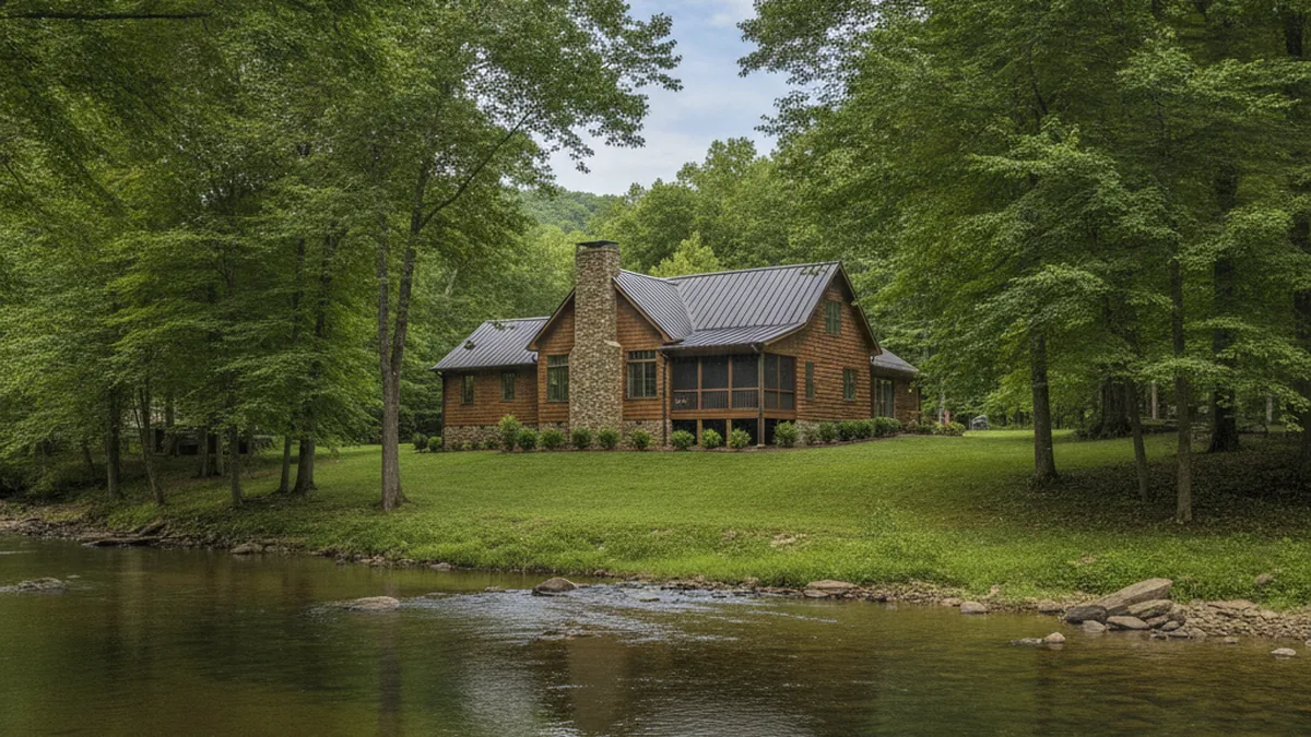
The Chestatee River is one of the defining natural features of Lumpkin County. It rises out of the Blue Ridge foothills north of Dahlonega, threads past several historic gold-mining sites, and eventually feeds Lake Lanier at Chestatee Bay. Buyers searching for waterfront homes along this corridor tend to fall into three buckets: primary-residence buyers who want the river out their back door, second-home buyers escaping metro Atlanta, and legacy-property investors. Each group walks the same property with a different checklist, so the right stretch of river for one buyer is often the wrong one for another.
Ready to see Chestatee River waterfront homes in person? Gold Peach Realty covers the North Georgia river corridors. Call (770) 283-1223 to schedule a private tour or receive a curated list of current listings.
Where does the Chestatee River flow through Dahlonega?
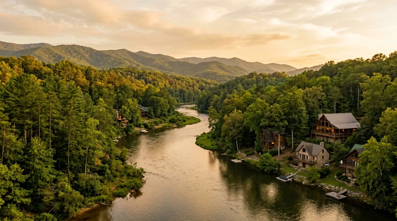
The Chestatee’s Lumpkin County stretch runs roughly north-to-south from the mountains near Suches down through Dahlonega and on toward Lake Lanier. The river changes character along its length. Upstream near Turners Corner it is narrower, faster-moving, and studded with shoals. Through the Highway 60 corridor and past the historic 1828 gold-mining bends it widens into deeper pools. As it approaches the lake south of Highway 400 it flattens into slow-current backwater more like lake living than river living.
The stretch you buy on materially changes what you can do with the water. Depth, current, and legal access vary parcel by parcel, so confirm which uses a specific stretch actually supports — with the seller, the county, and the state where a permit applies — before you count on any one of them.
How much does Chestatee River frontage cost?
Waterfront pricing on the Chestatee is not a single number. It comes down to five variables:
- Linear feet of frontage. Frontage length varies widely from parcel to parcel; ask how each comparable sale’s frontage compares before reading anything into price per foot.
- Water depth and character. Deep pools, shallow shoals, and seasonal water levels differ along the corridor and change what the water can actually be used for; verify depth and usability at the specific parcel.
- Distance from downtown Dahlonega. Commute time and dining convenience matter to many buyers; how much they move a given parcel’s value shows up in the recent comparable sales, so ask for the comps rather than assuming.
- Gated community vs. standalone. Achasta-community waterfront and comparable non-gated frontage price differently; compare both sets of recent sales before assuming a premium in either direction.
- Improvements. A cleared riverbank with steps, deck, or dock is a different product from raw brush-covered frontage; confirm what exists, what is permitted, and what would need approval.
Because the market moves and specific listings change, calibrate current pricing against recent Chestatee River comparable sales pulled from the MLS. Search Chestatee River listings at Gold Peach Realty for the current inventory, and request a comparative market analysis from Gold Peach Realty before you write an offer.
Are Chestatee River waterfront homes in the floodplain?
Some are, some are not, and the answer needs to come before you write an offer. The Chestatee has a defined floodplain across most of its Lumpkin County reach. Homes with lowest finished floor below the FEMA base flood elevation are typically required to carry National Flood Insurance Program coverage if financed with a federally-backed mortgage.
How to verify:
- Pull the FEMA Flood Map Service Center map for the exact parcel address (msc.fema.gov).
- Ask the listing agent for the seller’s most recent elevation certificate if one exists.
- Get a flood insurance quote before due-diligence expires. Coastal-style flood premiums do not usually apply here, but river-corridor premiums vary property by property.
Some of the older cottages along the river were built pre-FEMA-mapping and sit lower than modern code allows. That does not automatically disqualify a purchase. It does mean your total-cost-of-ownership math needs to include annual flood insurance.
What about wells, septic, and utilities?
Many Chestatee corridor homes outside the gates rely on private well and septic. That is normal for rural Lumpkin County and not a red flag by itself, but it does change the inspection checklist:
- Well: Test for volume, coliform, and mineral content. Some corridor wells produce hard water; others draw from shallow tables that fluctuate seasonally.
- Septic: Locate the drain field, confirm the last pump-out date, and inspect for setback compliance from the river.
- Power: Much of this rural corridor is served by an electric membership cooperative rather than a big-city utility; confirm the provider for the specific address. Outages do happen during summer thunderstorm season, so buyers who work remotely often add a generator.
- Internet: Options vary along the river and coverage is not universal. Verify carrier availability at the specific address before assuming reliable video-conferencing.
Look past the view: the practical questions on a river-frontage tour are seasonal ones. Ask about well output on a hot August afternoon rather than on the mild May day you first walk the property, and ask about septic performance in a rainy November rather than a dry July. A property that shows beautifully on a spring afternoon can behave very differently in a drought or after a week of rain.
Which stretches are best for which buyer type?
A practical shorthand by buyer type:
- Trout fishing and quiet retreat: Upstream, above Highway 19/60 split. Colder water, more shoals, more privacy, fewer neighbors. Best for buyers who want the river more than a community.
- Family-friendly swimming and tubing: Middle stretches through the historic Achasta-adjacent bends. Deeper pools, gentler current, better for kids.
- Boating with lake access: Lower stretches near Lake Lanier’s Chestatee Bay. Confirm navigability and any launch, dock, or permit requirements for the specific parcel.
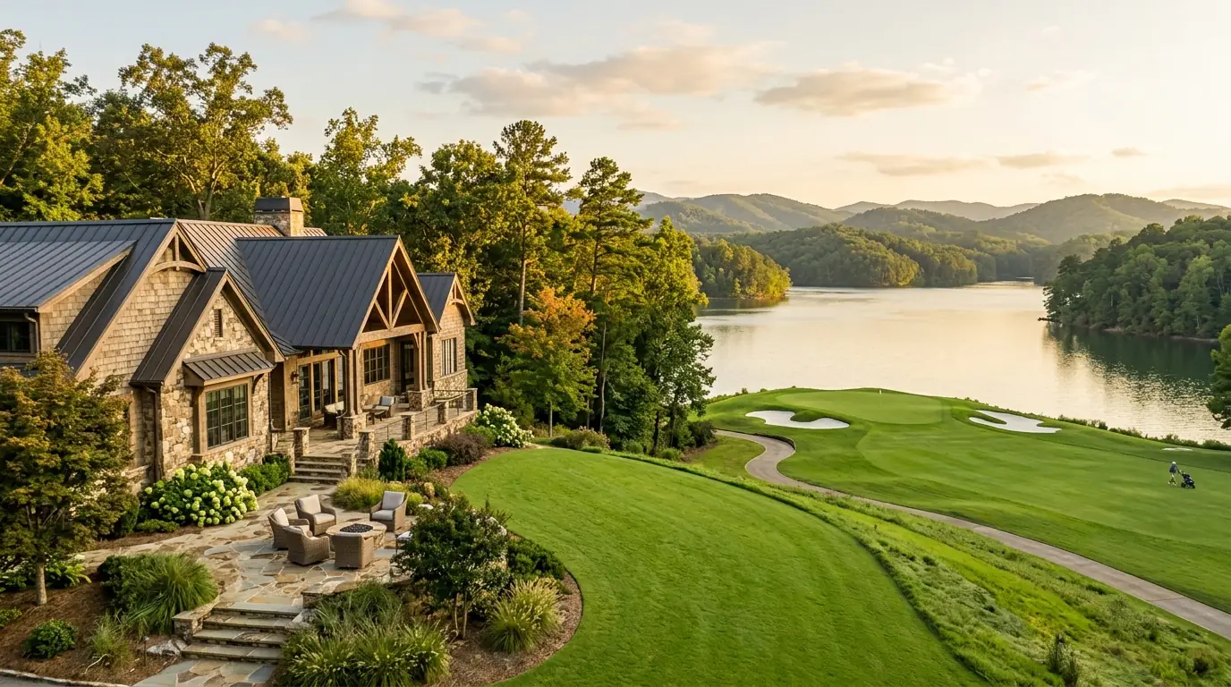
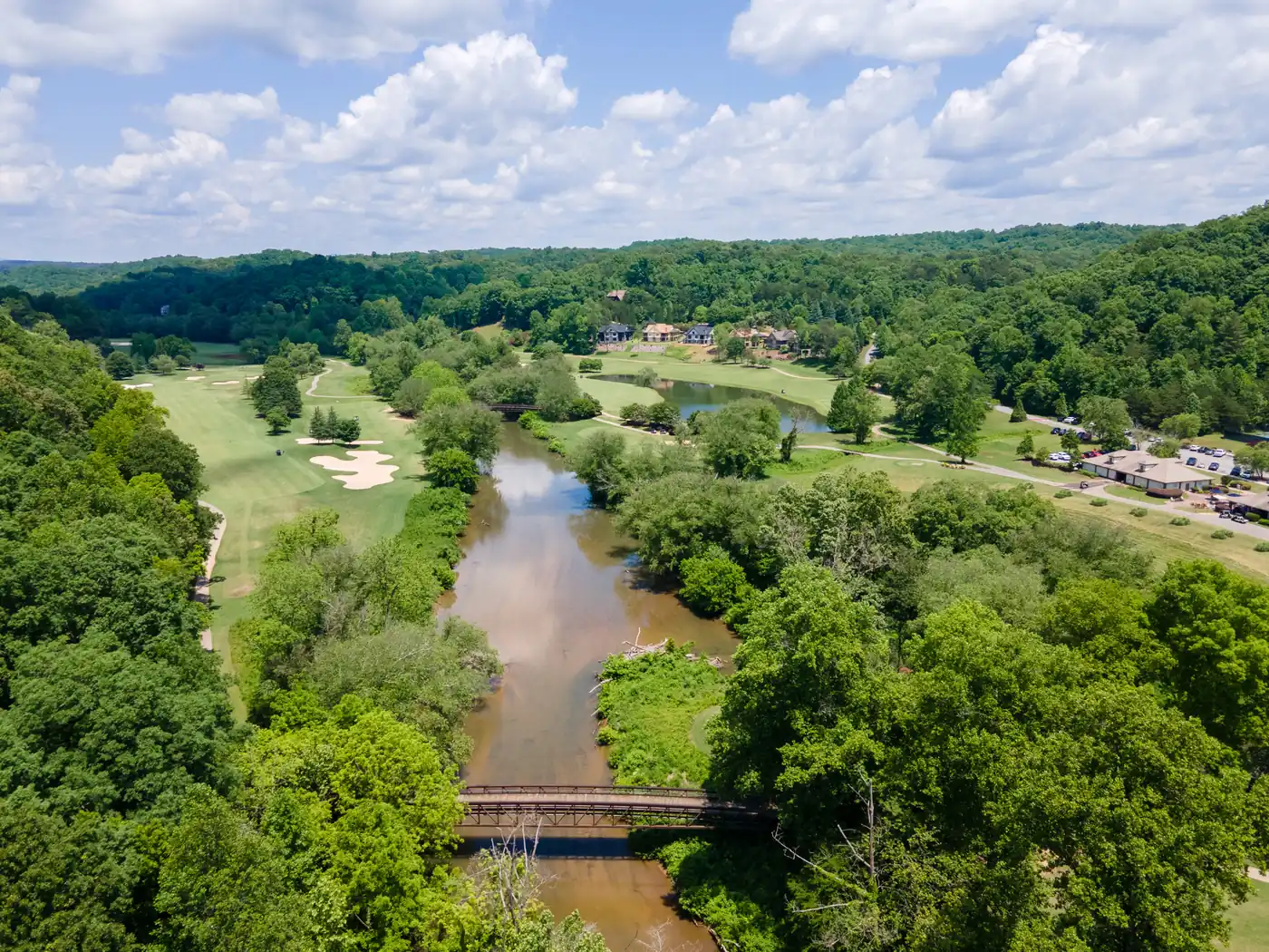
- Gated community with river frontage: Achasta-frontage lots (see Achasta community listings) pair the river with the Jack Nicklaus Signature course; request the HOA’s and the club’s current amenity and access terms in writing.
Are short-term rentals allowed on Chestatee River frontage?
It depends on the parcel. Lumpkin County has updated short-term rental regulations multiple times over recent years, and HOA rules inside gated communities have tightened independently. Do not assume the seller’s current Airbnb income will transfer to you. Verify with the county and the HOA in writing before you underwrite based on rental revenue.
What should a river-frontage inspection pay attention to?
On older river-corridor homes, the issues most worth watching for tend to involve moisture and cottages that were never built for year-round use:
- Deck and stair rot on river-facing outdoor structures (constant humidity)
- Foundation moisture on slab-on-grade homes close to the river
- Older-style septic drain fields with inadequate setback from the river
- HVAC undersizing on older cottages that were originally seasonal-only
- Roof lifespan issues (mountain hail and summer storm exposure)
None of these are deal-killers, but they should shape your offer price and repair credits during due diligence.
Want a curated shortlist of Chestatee River waterfront homes matching your budget and lifestyle? Call Gold Peach Realty at (770) 283-1223 or visit goldpeachrealty.com. The team can talk through how the different stretches of river compare.
Frequently asked questions
Is the Chestatee River swimmable?
Yes along most of its Lumpkin County stretch, though water depth and current vary parcel by parcel. Confirm conditions at the specific property.
Can you fish for trout on the Chestatee?
Yes. The upstream, colder reaches support wild and stocked trout populations. A Georgia DNR license is required.
Do all Chestatee River waterfront homes need flood insurance?
Not all. Only structures inside the FEMA-mapped floodplain, or those required by a lender. Verify per-parcel with the FEMA Map Service Center.
What’s the closest gated waterfront community?
Achasta, the gated community that sits along the river with the Jack Nicklaus Signature course. Confirm current community and club amenities directly with the HOA and the club.
Can I put in a private dock?
Depends on the river depth, current, permitting status with the state, and any HOA restrictions. Ask before assuming yes.
Information believed to be reliable but not guaranteed. All flood zone, well, septic, and HOA information should be independently verified. Equal Housing Opportunity. Gold Peach Realty is a licensed Georgia real estate brokerage.