When buying waterfront property in Lumpkin County near the Chestatee River, check FEMA flood zone designations like Zone AE and Zone X. Zone AE properties are high-risk and usually require flood insurance for federally-backed mortgages, while local zoning rules and elevation certificates impact development potential.
Understanding FEMA flood zones and local zoning rules is an essential step when purchasing waterfront property along the Chestatee River in Lumpkin County.
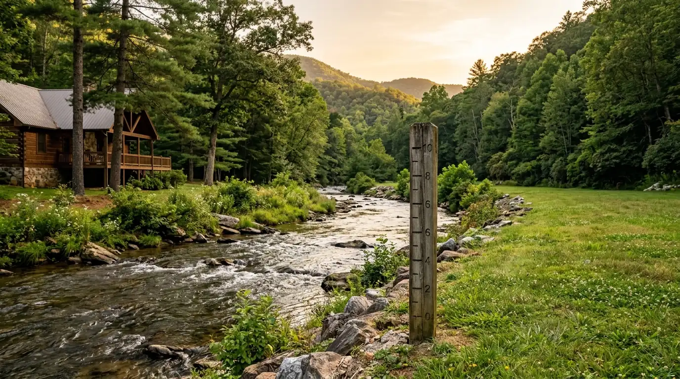
Understanding FEMA Flood Zones along the Chestatee River
Buying a waterfront or riverside home near the Chestatee River is a popular goal for many North Georgia buyers, but understanding how FEMA flood zones work in Lumpkin County is essential before purchasing. The Federal Emergency Management Agency (FEMA) designates flood zones based on the statistical likelihood of flooding in a given area. Properties near the Chestatee River and its tributaries generally fall into Zone AE or Zone X.
You can check any property’s flood zone status at no cost using the FEMA Flood Map Service Center (msc.fema.gov) by entering the property address to pull the current Flood Insurance Rate Map (FIRM).
When evaluating waterfront properties in Dahlonega , knowing which designation applies to the land helps determine mortgage requirements and long-term costs.
| Zone Designation | Risk Level | Mortgage Requirement |
|---|---|---|
| Zone AE | High Risk | Flood insurance typically required |
| Zone X | Minimal Risk | Flood insurance usually not required |
Flood Insurance and Checking Status
If a property is located in a designated high-risk flood zone like Zone AE, federally-backed mortgages require flood insurance through the National Flood Insurance Program (NFIP) or a private carrier. Your lender will also order an official flood zone determination as part of the closing process.
Zone AE properties require flood insurance for federally-backed loans. Insurance costs depend on factors such as property elevation, flood zone designation, and chosen coverage limits.
Annual premiums vary depending on the property’s elevation and flood zone. Always ask your insurance agent for a detailed flood insurance quote before closing on waterfront property.
For buyers considering riverside communities near Dahlonega , getting an early insurance estimate ensures there are no surprises during escrow.
Essential Buyer Due Diligence for Waterfront Homes
Before making an offer on riverfront land or a home, perform thorough due diligence regarding the property’s history and local zoning standards:
- Ask your agent to pull the Elevation Certificate if one exists for the property.
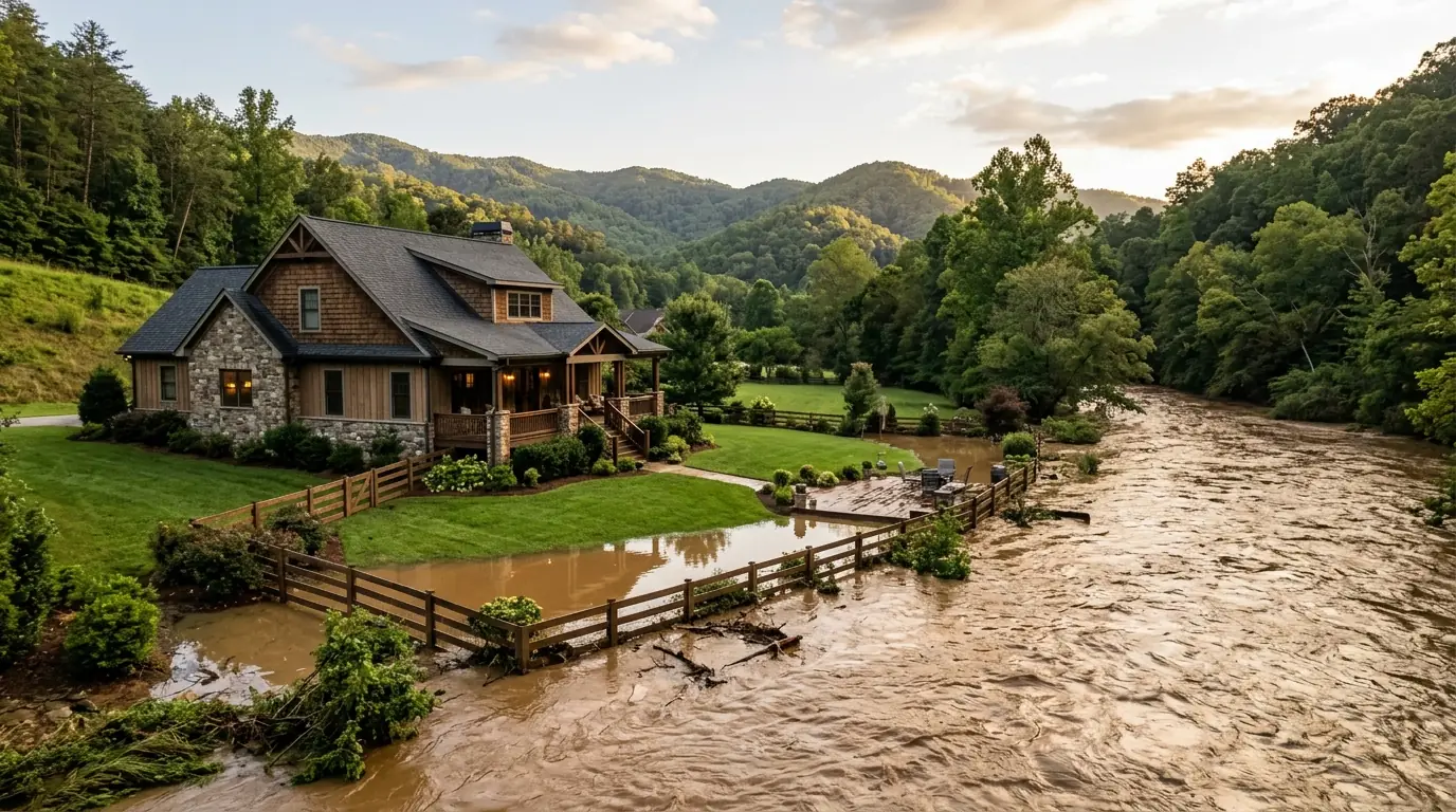
- Ask the seller directly whether the property has ever experienced flooding.
- Check with Lumpkin County’s building and zoning office regarding local floodplain management regulations affecting additions or building permits.
If you are planning on buying a home in Chestatee or the surrounding mountain areas, working with knowledgeable experts ensures every detail is addressed.
Frequently Asked Questions
What is a flood zone in Lumpkin County?
FEMA designates flood zones based on the statistical likelihood of flooding in a given area. Properties near the Chestatee River and its tributaries typically fall into Zone AE (high-risk) or Zone X (minimal risk).
How do I check a property’s flood zone status?
You can check any property’s flood zone status at no cost using the FEMA Flood Map Service Center at msc.fema.gov by entering the property address. Your lender will also order a flood zone determination during closing.
What should I ask before buying waterfront property?
Ask your agent for an Elevation Certificate if available, ask the seller whether the property has ever flooded, and check with Lumpkin County’s building and zoning office about local floodplain regulations.
Ready to find your riverside home?
Browse Chestatee River homes for sale with Gold Peach Realty.
Search North Georgia homes with Gold Peach Realtyor call (770) 283-1223